1. Urb. health spatial indicators 2. Env. health impact assessment data 3. Urb. health spatial action plan #4 (policy + interventions) 4. Interinst. and cross-departmental strategies . 5. Scientific article #2
1. Urb. health spatial indicators 2. Env. health impact assessment data 3. Urb. health spatial action plan #4 (policy + interventions) 4. Interinst. and cross-departmental strategies . 5. Scientific article #2
1. Urb. health spatial indicators 2. Env. health impact assessment data 3. Urb. health spatial action plan #3 (policy + interventions) 4. Interinstitutional and cross departmental strategies
1. Urb. health spatial indicators 2. Env. health impact assessment data 3. Urb. health spatial action plan #2 (policy + interventions) 4. Interinstitutional and cross departmental strategies
1. Urb. health spatial indicators 2. Env. health impact assessment data 3. Urb. health spatial action plan #1 (policy + interventions) 4. Interinstitutional and cross departmental strategies

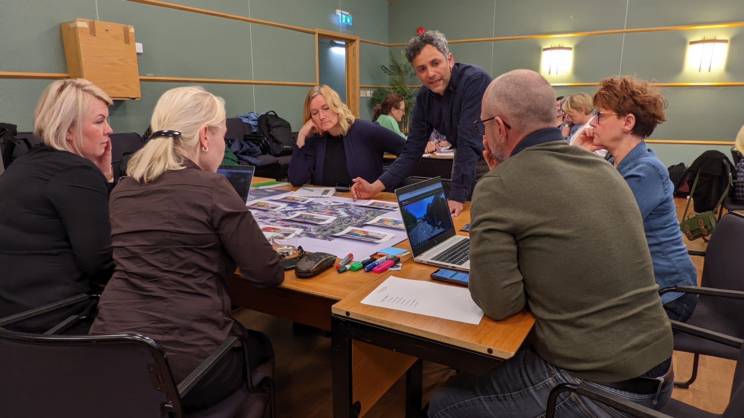
● Characterization of vulnerable outdoor users in Cyprus ● Evaluation of outdoor public space quality from the users’ perception analysis
● Urban health indicators specific to Cyprus ● Ecosystem data collected and categorized for analysis

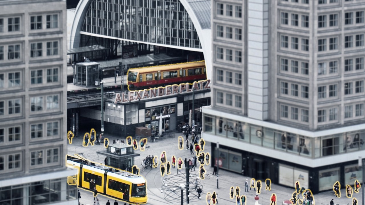
● Characterization of vulnerable outdoor users in Berlin ● Evaluation of outdoor public space quality from the users’ perception
● Urban health indicators specific to Berlin ● Ecosystem data collected and categorized for analysis
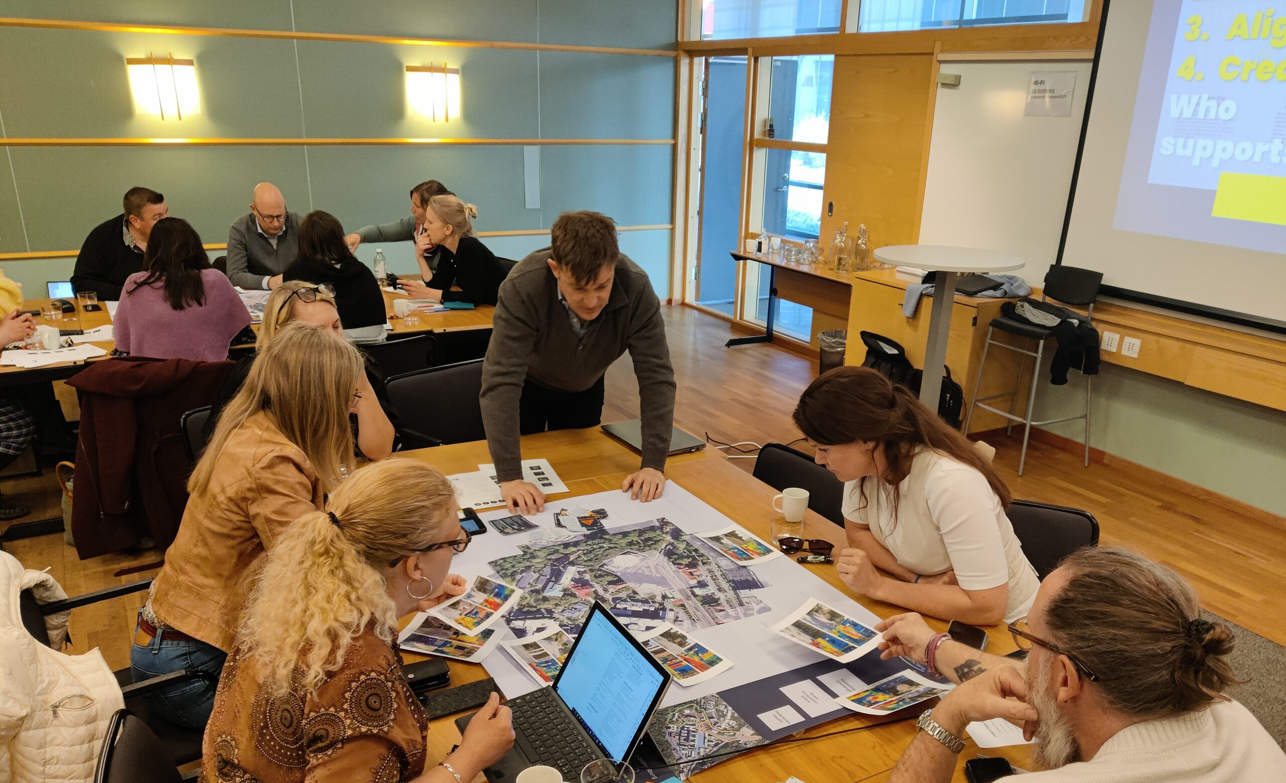
● Characterization of vulnerable outdoor users in Gothenburg ● Evaluation of outdoor public space quality from the users’ perception
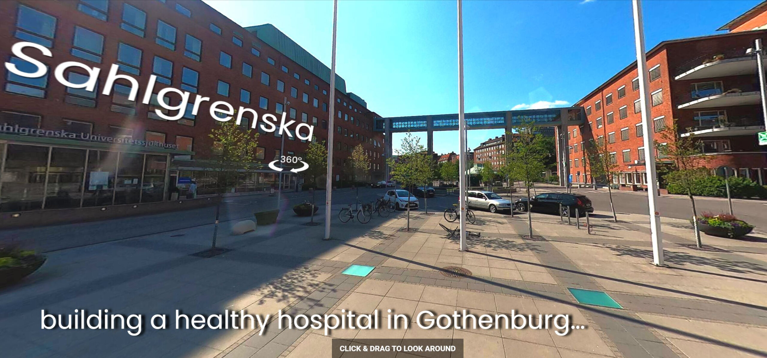
● Urban health indicators specific to Gothenburg ● Ecosystem data collected and categorized for analysis

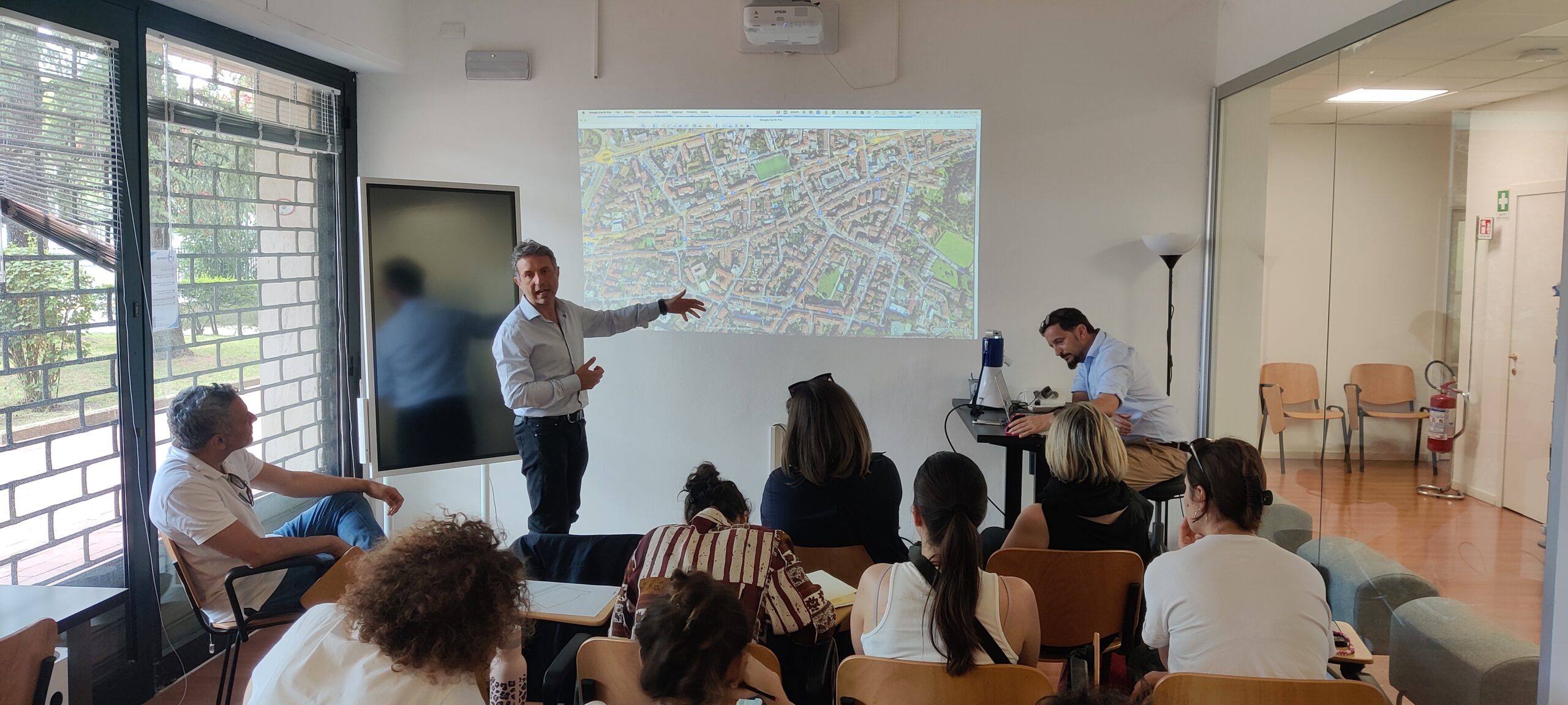
● Characterization of vulnerable outdoor users in Florence ● Evaluation of outdoor public space quality from the users’ perception
● Urban health indicators specific to Florence ● Ecosystem data collected and categorized for analysis
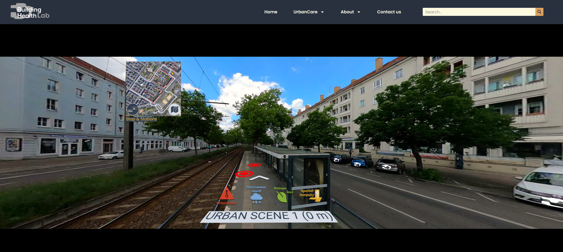
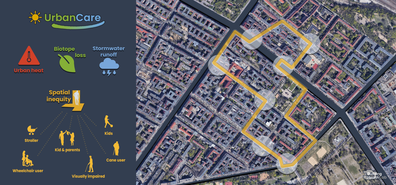
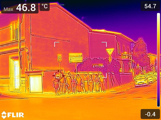
An application to calibrate surveys and visualize 5 data sets: 1. Spatial inequity 360° photography 2. Thermal imaging 3. Surface runoff analyses 4. Biotope fragmentation indexes 5. Outdoor Users needs and tables and graphs
● Urban health indicators for spatial actions and interventions ● Scientific article #1 on Urban Health indicators for spatial interventions ● Targets and goals for quantitative and qualitative research surveys and the digital platform development
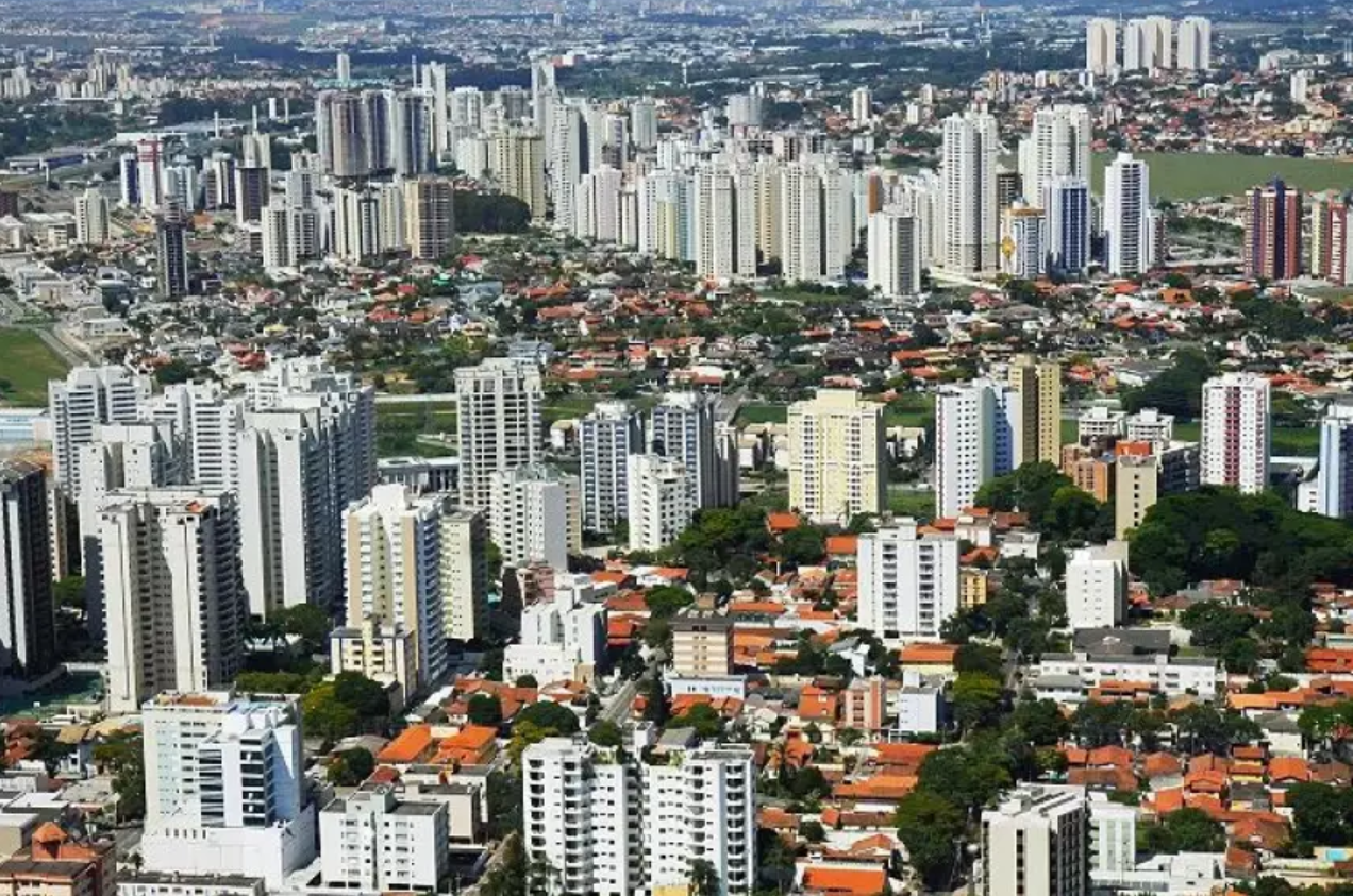
Projects aimed primarily at the state's 9 metropolitan regions - 79.7% of the state's population.
Urban development, tax increase, expansion in the implementation of public policies and increase in the quality of life of residents in these areas.